There are many countryside walks in and around Woldingham. This page provides a number of useful maps, plus links to groups that organise walks in our area


1st Woldingham Scouts Parish Boundary Path
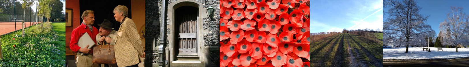
![]() 1st Woldingham Scouts has established (using existing bridleways and footpaths) a Woldingham Parish Boundary Path to celebrate our Queen’s Platinum Jubilee. The path stays as close to our parish boundary as possible and the map shows the route.
1st Woldingham Scouts has established (using existing bridleways and footpaths) a Woldingham Parish Boundary Path to celebrate our Queen’s Platinum Jubilee. The path stays as close to our parish boundary as possible and the map shows the route.
This project has been done in consultation with Surrey County Council’s Countryside Access team and their support is greatly appreciated. 1st Woldingham Scouts are very grateful to Woldingham Parish Council for the grant support they have given to this project.
The boundary path goes through stunning countryside and it is hoped that it will provide, in perpetuity, much enjoyment to the community and contribute to the health and wellbeing of all those who go out and explore it.
Click on the map image or download here.

1st Woldingham Scouts Woldingham Parish Boundary Path
To join 1st Woldingham Scouts on our adventures or to volunteer please contact us via email at 1stwoldinghamscouts@gmail.com
The Scouts is a co-educational charity focussed on youth development and welcomes every religion, race, ethnicity, gender orientation, able or disabled…come and join in the fun.
NOTE: This map is not to scale and is for illustrative purposes only. It is based on the Woldingham Village Map and Woldingham Neighbourhood Plan Map. Please refer to Tandridge District Council documents for definitive maps of the designated areas and OS maps for scaled and topographical information. Anyone walking on the routes shown on this map do so at their own risk. 1st Woldingham Scouts and the Woldingham Parish Council do not accept responsibility, or liability, for any potential risks that walkers may be faced with.
East Surrey Walkers
You may also be interested visiting the East Surrey Walkers website, a local group of the Ramblers, who organise walks in Surrey, Sussex and Kent.
Surrey Hills Society
The Surrey Hills Society also organises walks in our area as part of their events programme.
John Harris’s Walking in England
Walking in England – includes links to free downloadable routes in and around Surrey, including Woldingham
The Vanguard Way
This is a long distance walk that passes through Woldingham. The Vanguard Way website provides maps and directions for all parts of the 66 mile long route from East Croydon to Newhaven. View and print the map for our village here:
Vanguard Way Map – section through Woldingham
Greenwich Meridian Trail
The Greenwich Meridian Trail is a long-distance walk that follows the line of the Prime Meridian. Inaugurated in 2009, to coincide with the 125th anniversary of the Greenwich Meridian, the walk begins at the splendid monument to King George V at Peacehaven in East Sussex and ends, 273 miles later, on the coast at Sand le Mere in East Yorkshire. The walk is divided into four parts, each covered by a separate guidebook. Book 1 covers the section of the walk that passes through Woldingham.
